21.11.2025.
12:45
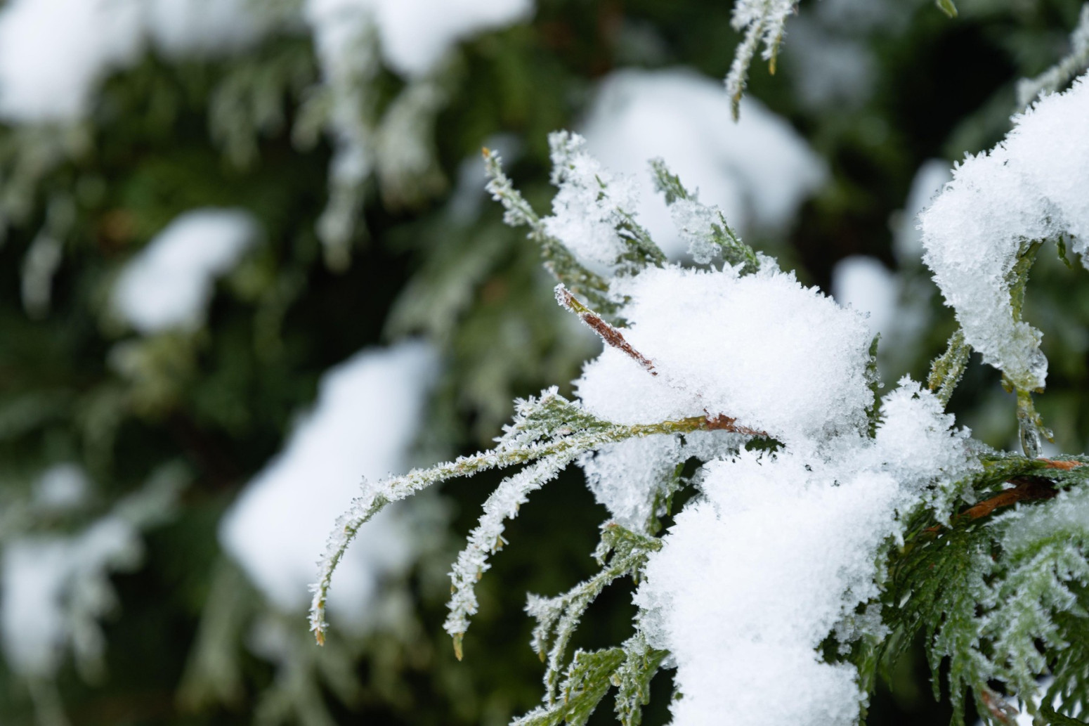
Get ready, an Arctic air mass is coming
Serbia is entering a sharp cold snap today. Rain will turn to snow in the western part of the country, and over the weekend, almost the entire nation will be affected by an Arctic air mass and winter precipitation, meteorologist Djordje Djurić announced.

Djurić told Telegraf that today will bring stronger cold to Serbia with rain, while it will remain warm only in the south and southeast of the country, accompanied by showers and thunderstorms.
Maximum temperatures will range from 4°C in the northwest to 20°C in the southeast of Serbia, while in Belgrade it will reach up to 8°C.
“By the end of the day, a further drop in air temperature is expected, so tonight rain will turn to snow in western Serbia and the Podrinje region, and during the night also in western Vojvodina—mainly in Bačka, western Srem, and Mačva—while temperatures will drop to around 0°C,” Djurić stated.
Thus, as the meteorologist emphasized, snow will first start falling in the cities of Loznica, Sombor, Apatin, Šid, and Bačka Palanka.
Weather on Saturday
On Saturday, November 21, very cold weather is expected. Sleet and snow will fall across much of Serbia, especially in central, western, and southwestern regions, and it will also occur in Belgrade and Vojvodina.
In the south and southeast, rain and showers are expected.
Maximum temperatures will range from 2°C in the north and west of Serbia and in Belgrade, up to 12°C in the southeast of the country.
Sunday the coldest
According to meteorologists, Sunday will be the coldest day.
According to Djurić’s forecast, maximum temperatures will range from 1 to 5°C, reaching up to 2°C in Belgrade.
“Icy air mass conquering Europe”
As he emphasized, the icy air mass is increasingly spreading across Europe and is approaching Serbia.
Warming to follow
At the beginning of next week, a significant warming is expected, although changeable weather with frequent rain will continue.
0 Komentari
Možda vas zanima

Apsolutno zasluženo: Španci su prvaci sveta – bruka Argentine; Mesi u suzama; Rodri MVP VIDEO
Španija je novi prvak sveta! Gol Ferana Toresa u 106. minutu doneo je pobedu nad Argentinom (1:0) posle produžetaka, dok je Lionel Mesi u, po svemu sudeći, poslednjem nastupu za reprezentaciju ostao bez odbrane svetske titule
2:00
20.7.2026.
1 d

Forbs otkrio zašto je Srbija postala važna Trampu: Ovo su četiri ključna razloga
Možda vam je promaklo, ali prošle nedelje američka politika prema Zapadnom Balkanu napravila je značajan korak napred.
17:58
20.7.2026.
1 d

"Orlići" vicešampioni Evrope; Džepina u idealnoj petorci – Slovenija prejaka u finalu
Košarkaška reprezentacija Srbije do 20 godina izgubila je u finalu Evropskog prvenstva od Slovenije 84:65 u Ljubljani.
22:00
19.7.2026.
1 d

Džinovski Antonov An-124 stiže u pomoć
Avio-kompanije Erbas i Boing angažovale su transportni avion Antonov An-124, jedan od najvećih teretnih aviona na svetu, kako bi ubrzale isporuku ključnih delova za proizvodnju letelica i ublažile probleme u lancima snabdevanja.
10:36
20.7.2026.
1 d

Iranci oborili moćni MQ-9; Vašington potvrdio: Stradao američki vojnik FOTO/VIDEO
Sukob na Bliskom istoku – 141. dan. Američki vojnik poginuo je na severu Iraka tokom kontrolisanog uništavanja neeksplodirane municije sa iranske samoubilačke bespilotne letelice, saopštio je CENTCOM.
23:40
19.7.2026.
1 d


Komentari 0
Pogledaj komentare Pošalji komentar