15.01.2026.
12:15
Europe braces for an "Arctic epidemic" as "snow bombs" move toward the Balkans
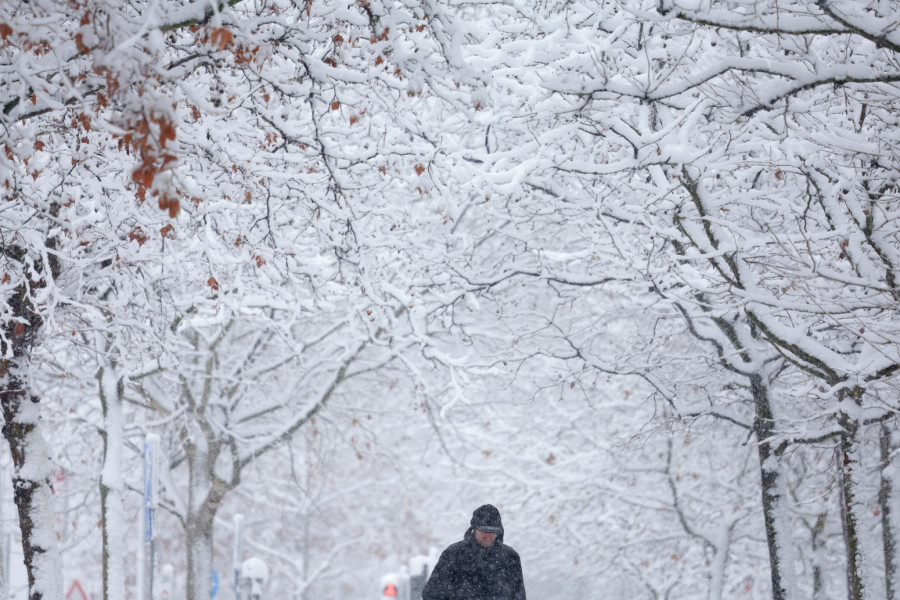
With the arrival of the New Year, an icy cold wave has set in. Weather models have shifted abruptly and are now forecasting a “strong Arctic outbreak” that is expected to affect nearly two-thirds of Europe.

From the Mediterranean to the Balkans, multiple winter storms are set to develop, bringing blizzards, heavy snowfall, and Arctic cold.
Meanwhile, according to data from the meteorological website Severe Weather, Arctic air is pushing as far south as North Africa, bringing snow to parts of Spain and Algeria.
Temperatures are forecast to drop 12–15 degrees Celsius below seasonal averages across Central, Western, and Southwestern Europe.
“Balkan snow bombs” on the way
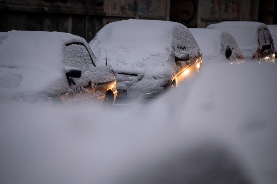
Mediterranean cyclones are triggering so-called “Balkan snow bombs” — deep low-pressure systems fueled by abundant moisture, producing intense snowfall and blizzards across the Balkans and Eastern Europe.
Additionally, another stratospheric warming event is further destabilizing the polar vortex, increasing the likelihood of “locked-in” cold from mid to late January.
With the start of the New Year, the atmospheric pattern over the North Atlantic and Europe has undergone a fundamental transformation. The previously progressive flow has abruptly been replaced by a classic high-latitude “Greenland block.”
What does this mean?
A Greenland block is a strong, persistent high-pressure system over Greenland that blocks the usual west-to-east flow of air from the Atlantic. Instead of milder, moist air, cold Arctic air is redirected toward Europe.

Arctic air to spill over the Balkans
This expansive high-pressure ridge acts as a meteorological barrier, forcing a deep reservoir of Arctic air to surge southward across Europe. The result is a persistent disruption of the polar vortex, allowing winter conditions to extend across the continent.
The primary concern now is the “clash of air masses.” As this icy Arctic air collides with lingering warmth and the high moisture content of the Mediterranean, it will trigger a series of intense cyclones — low-pressure vortices that strengthen rapidly.
These powerful winter storms are expected to sweep across the Balkan Peninsula and into Central and Eastern Europe, bringing the threat of deep snow accumulation, blizzards, and serious disruptions to transportation.

Winter storm to sweep across Western Europe
Further west, the latest meteorological trends indicate that a deep-layered Atlantic winter storm will sweep across Western Europe by the end of next week and over the weekend, potentially bringing snow down to sea level in areas that began the season unusually mild.
Although London is currently at the center of the cold air pool, indications of more dynamic weather, including winter storms, are expected over the next weekend. Meanwhile, Algeria faces the arrival of a massive Arctic storm by mid-next week, with possible snowfall in higher northern terrains and likely severe thunderstorms accompanied by heavy flooding.


Komentari 0
Pogledaj komentare Pošalji komentar