23.10.2025.
16:44
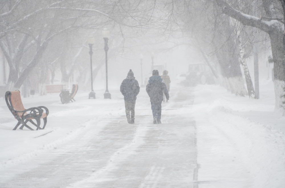
Polar Vortex approaches: Coldest winter in the last 40 years?
Today is the warmest day of a brief thaw this week, with temperatures reaching 25°C, but by the end of the day, cloud cover and precipitation will bring a cooling trend.

Meteorologists Warn: Polar Vortex Approaching – Colder Temperatures Expected from Friday
Meteorologists from Severe Weather Europe have announced that the polar vortex is moving toward the region, and from Friday, lower temperatures should be expected. They also explained how the polar vortex influences the coldest period of the year – winter.
The Role and Development of the Polar Vortex
The polar vortex – a large-scale winter circulation of cold air extending through multiple layers of the atmosphere above the polar regions – always plays a key role during the winter season, affecting weather patterns from day-to-day up to weekly scales. This year, however, it has begun unusually weak, allowing shifts and dynamics that could favor a colder and snowier winter.
Unusual Development of the Polar Vortex
Severe Weather Europe reports that the current development of the polar vortex in the stratosphere over the North Pole is unusual. This is linked to weather patterns over the U.S., Canada, and Europe in the coming weeks and potentially during the 2025/2026 winter.
“Since the emergence of the new polar vortex in September, it has shown rather unusual development and could become a wildcard for the upcoming winter season. A strong polar vortex usually means a strong polar circulation and jet stream, which keeps cold air confined within the Arctic Circle, creating milder conditions for much of the U.S. and Europe. A weak polar vortex, however, can disrupt the jet stream and trigger significant weather responses. As a result, it becomes harder to contain cold air, which can now move more freely from polar regions into the U.S. or other mid-latitude areas,” explain meteorologists.
Disrupted Circulation and Cold Wave
They add that the polar vortex is strongest when temperatures are very cold and there is a deep pressure field. Currently, a pressure anomaly is hindering its organization, keeping it weaker than usual.
“A closer look at Europe shows that a wave of colder air is expected due to a strong disruption of the lower polar vortex. Again, if this occurred in mid-winter, such a pattern would bring cold air and snow,” the report states.
Similarities with the winter of 1981/1982
However, there are indications that the weaker polar vortex will continue into late autumn. This means the chances for more severe cold over the U.S. or Europe will gradually increase as long as the polar vortex remains weak or disrupted.
Europe also shows a continued cooling trend in November because the disrupted lower polar vortex allows the formation of low-pressure areas over the region. Experts note a similar event occurred in October during the 1981/1982 season, when there was a pressure anomaly specific to that winter.
“This allowed colder polar air to more easily move out of the polar regions into the mid-latitudes. Surface temperature analyses for the same period show cold air anomalies over much of Canada, spreading into the northern and eastern U.S., while cold air also penetrated Europe,” reported Severe Weather Europe.
Meteorologists emphasize that no one can guarantee that this upcoming winter will follow the same cold pattern as 1981/1982. However, past anomalies and unusual developments show that even small changes can have far-reaching effects.
“In the mountains, temperatures could reach -20°C; in cities, around -12°C”
Meteorologist Ivan Ristić confirms that a polar vortex is arriving, bringing Arctic air. Temperatures will begin to drop, with autumn-like conditions of 10–15°C expected next week, while snow will return to the mountains. By the end of October, colder weather with precipitation will persist, and the atmosphere is expected to stabilize at the beginning of November.
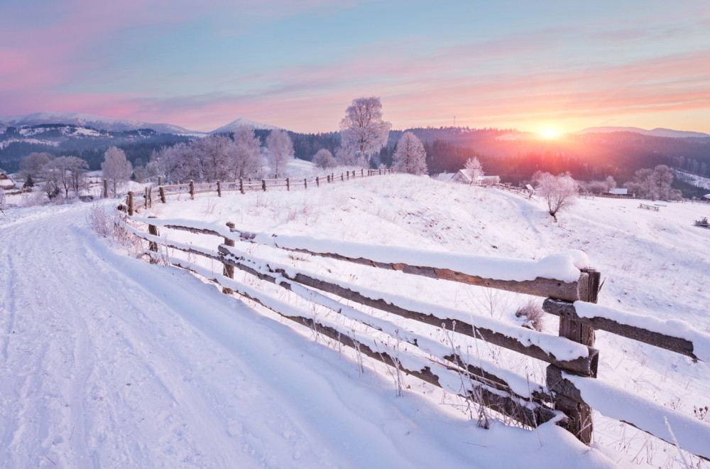
“The source of the cold air is the Greenland Sea. At this time of year, it is still relatively warm and cannot bring snow to the lowlands, but it is still quite cold, and atmospheric oscillations indicate that the winter will be colder. Snow will fall more often, and temperatures will drop below 0°C. Everything points to a return of winters like those in the 1980s. In the mountains, it could reach as low as -20°C, while in the lowlands it would occasionally be around -10 to -12°C,” says Ristić.
Snow expected in lower areas around November 24
According to his long-term forecast, snow in lower areas is expected around November 24.
Amateur meteorologist Marko Čubrilo explained in his early winter forecasts that there are signals for a more unstable polar vortex, which could be prone to disturbances or even disruptions in the stratosphere if sudden warming occurs.
“Winters with such a setup of global factors often experienced sudden stratospheric warming fairly early, in December or early January. That’s why, when it comes to Europe, I have to be very cautious in giving a long-term winter weather forecast, and I think it’s not possible before mid-November. Observing what I consider the most reliable seasonal model, ECMWF, there is some potential for cold weather, but it’s far from certain,” Čubrilo said.
“Only the Chinese model predicts a cold and snowy winter”
Čubrilo notes that a positive air pressure anomaly is being simulated from the northern and central Atlantic across northwestern, central, and even eastern Europe.
“In this kind of air pressure setup, cold air could arrive at the eastern periphery of the anticyclone from the northeast or east, but for it to become truly very cold, the anticyclone would need to shift further toward Greenland and extend toward Scandinavia, forming an anticyclonic block that would allow very cold air from the Arctic and Siberia to descend over much of Europe. That is not happening at the moment. Currently, only the CMA (Chinese model) shows such a synoptic setup, and if it materializes, the winter could indeed be very cold and snowy,” Čubrilo explains.
According to him, other models, such as the American CFSV2, show almost no signal for a blocking pattern, meaning the winter would be relatively mild and dry.
“For now, I would say there is a fairly strong potential for the winter to be around or slightly colder than average, but at the moment there is no forecast of polar cold or heavy snowfall,” Čubrilo concludes.
0 Komentari
Možda vas zanima

Rat – dan 1.611: Rusi napali Kijevsku oblast: 10 mrtvih, 100 povređenih; "Namerno smo ih gađali" FOTO/VIDEO
Rat u Ukrajini – 1.611. dan. Moskva je preuzela odgovornost za smrtonosni raketni napad na prezentaciju odbrambene industrije u Kijevskoj oblasti, navodeći da je namerno gađala izložbu na kojoj su bili prikazani dronovi ukrajinske i strane proizvodnje.
23:55
24.7.2026.
23 h

Mali najavio sjajne vesti za penzionere: "Prvo se isplaćuju penzije, a odmah zatim jednokratna pomoć"
Ministar finansija Siniša Mali ukazao je u objavi na svom Instagram nalogu, da su dobro stanje javnih finansija, odgovorna ekonomska politika i rezultati koje godinama ostvaruju, omogućili da ispune još jedno obećanje dato građanima Srbije.
10:41
25.7.2026.
12 h

Rat – dan 1.610: Ukrajinci napali Krim; Preko 20 povređenih u Zaporožju; Usvojene nove sankcije FOTO/VIDEO
Rat u Ukrajini – 1.610. dan. Dve osobe su poginule, a pet je povređeno u ukrajinskom vazdušnom napadu na Krim tokom noći. U ruskom napadu na Zaporožje povređeno je 25, među kojima je šestoro dece.
23:56
23.7.2026.
1 d

"Poker" Partizana na evropskoj premijeri – Ilić: "Tek je početak" VIDEO
Sjajna poseta u Humskoj, s obzirom da je UEFA "zaključala" 10.000 mesta.
23:45
23.7.2026.
1 d

Nemački gigant otvara novu fabriku: Stiže novih 900 radnih mesta
Dok brojne industrijske kompanije u Nemačkoj zatvaraju pogone i ukidaju radna mesta, odbrambena industrija nastavlja da širi svoje poslovanje.
17:31
24.7.2026.
1 d


Komentari 0
Pogledaj komentare Pošalji komentar